
Step into Nature with Otonabee Conservation
The benefits of being in nature are widely known. A walk through a local greenspace can help you mitigate stress, improve cardiovascular health, enhance mental health, boost creative thinking and maintain a healthy lifestyle.
For many, the importance of having access to nature nearby has become quite apparent during the pandemic. Trails and parks are in the spotlight during a time when many people are seeking a break while working from home, looking for ways to get more exercise while access to gyms is limited, and managing stress during these changing and often challenging times.
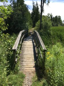
Throughout the Otonabee Region watershed, and within the municipalities of the City and County of Peterborough, we are fortunate to have an extensive trail system for hiking and walking. Trails provide an open, safe space for recreation, education, and physical activity.
Many areas are also places where the landscape is preserved. Otonabee Conservation manages 42km2 of land for the protection of biodiversity and natural heritage including areas of significant environmental and ecological importance. We provide access to many of these areas for outdoor recreational opportunities such as walking, hiking, biking, swimming, paddling and camping.
The Otonabee Region watershed is diverse and is comprised of five distinct physiographic regions. Starting at the Oak Ridges Moraine and Rice Lake at the southern boundary the land transitions from a landscape dominated by agriculture, to the rocky, forested lands of the Canadian Shield at the northern boundary. It is interspersed by drumlins, watercourses and numerous wetlands.
We offer access to eleven properties for recreational pursuits with 31km of trails that can be explored throughout the watershed. Warsaw Caves, Harold Town and Selwyn Beach Conservation Areas along with the Jackson Creek Trail and Miller Creek Wildlife Area are some the area’s favourite hiking, biking and wildlife viewing destinations.
Visit otonabeeconservation.com today to connect with our interactive Watershed Map App. This exciting interactive map is your guide to the Otonabee Region watershed, helping you discover unique natural features and special places nearby in nature. Step into nature today for all the benefits it provides.
By Karen Halley, Otonabee Conservation, Communications & Marketing Coordinator
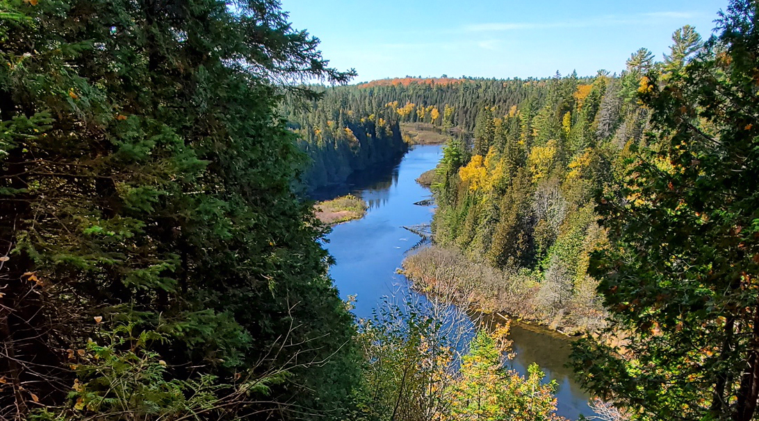
Cover Photo: Warsaw Caves Conservation Area has 15 km of trails that meander through forests and across open limestone plains. From the scenic lookout, you can view the Indian River valley; you’ll also see potholes and kettles, and hear the sounds of the disappearing river.